
Basin area 16,760 km² Mouth elevation 0 | ||
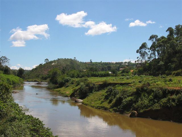 | ||
The Mananara River is one of the main rivers in eastern Madagascar. Its mouth is located at the Indian Ocean near the city of Vangaindrano in the Atsimo-Atsinanana region.
Map of Mananara, Madagascar
The Mananara is formed by the merger of the Menarahaka, Itomampy, and Ionaivo. The Ionavio rises on the slopes of Tsimahamory peak, at an approximate elevation of 1500m. The Itomampy rises not far from the Ionaivo, about 40 km from the Indian Ocean, at approximately 1600m, and runs north until it joins the Ionaivo. The Menarahaka rises in the Andringitra massif, at approximately 2000m elevation. It is joined by the Sahambano before joining the Ionaivo.
References
Mananara River Wikipedia(Text) CC BY-SA