
- elevation 1,785 m (5,856 ft) - min 0.497 m/s (18 cu ft/s) | - elevation 0 m (0 ft) | |
 | ||
- average 24.2 m/s (855 cu ft/s) - (1980-1983) - max 220 m/s (7,769 cu ft/s) | ||
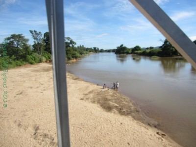
The Manajeba River is located in northern Madagascar. Its sources are situated near in the Tsaratanana Massif, it crosses the Route nationale 6 near Tanambao Marivorahona and flows into the Indian Ocean.
References
Manajeba River Wikipedia(Text) CC BY-SA