
Administrative center selo of Mamontovo Rural localities 22 Founded 1924 | Selsoviets 13 Area 2,305 km² | |
 | ||
Municipally incorporated as | ||
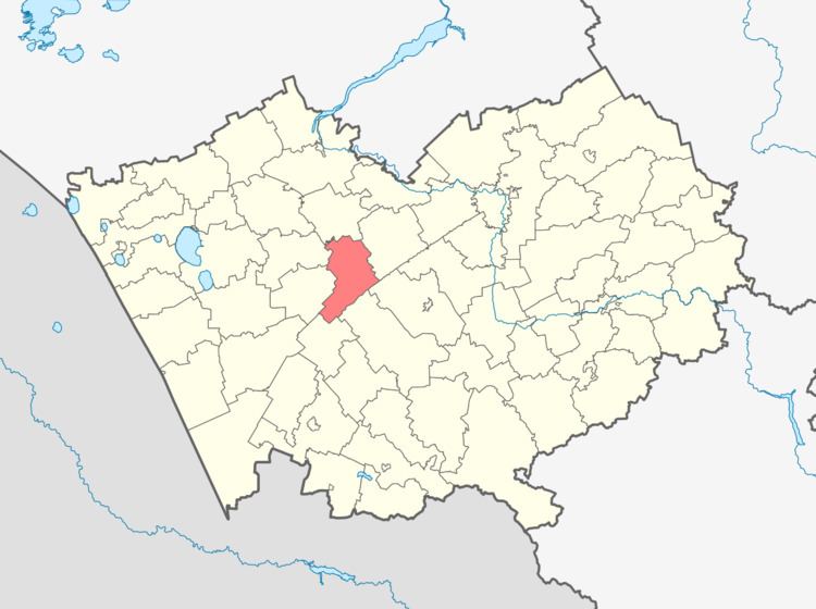
Mamontovsky District (Russian: Ма́монтовский райо́н) is an administrative and municipal district (raion), one of the fifty-nine in Altai Krai, Russia. It is located in the center of the krai. The area of the district is 2,297 square kilometers (887 sq mi). Its administrative center is the rural locality (a selo) of Mamontovo. Population: 23,412 (2010 Census); 26,102 (2002 Census); 26,092 (1989 Census). The population of Mamontovo accounts for 37.5% of the district's total population.
Map of Mamontovsky District, Altai Krai, Russia
References
Mamontovsky District Wikipedia(Text) CC BY-SA