
Country Philippines Barangays ZIP code 9503 Local time Sunday 8:23 PM | District Lone district Time zone PST (UTC+8) Area 750.9 km² Province Sarangani | |
 | ||
Region SOCCSKSARGEN (Region XII) Weather 26°C, Wind SE at 5 km/h, 81% Humidity Neighborhoods Malandag, Tingkalungan, Banate | ||
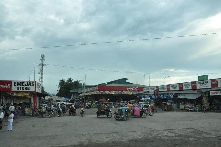
Jp laurel view deck malungon sarangani province
Malungon is a 1st class municipality in the province of Sarangani, Philippines. According to the 2015 census, it has a population of 103,604 people.
Contents
- Jp laurel view deck malungon sarangani province
- Map of Malungon Sarangani Philippines
- S lang festival street dance malungon sarangani province
- Barangays
- Economy
- References
Map of Malungon, Sarangani, Philippines
Malungon is a landlocked town at the north-eastern part of Sarangani. It is bounded on the west by Tupi, South Cotabato, on the north by the province of Davao del Sur, east by Malita, capital of the newly created province of Davao Occidental, on the south by Alabel (the provincial capital) and General Santos City, and on the south-west by Polomolok, South Cotabato.
S lang festival street dance malungon sarangani province
Barangays
Malungon is politically subdivided into 31 barangays.
Economy
Malungon's economy is largely based on agriculture with a high level production of dried coconut meat. Animal husbandry is the second biggest income earner, notably cattle farming. Other agricultural products are coconuts, maize, sugarcane, bananas, pineapples, mangoes, pork, eggs, beef, marijuana Plantation and fish.
The economy has accelerated in the past decade driven by advances in global communication technology and the finishing of a modern highway that tremendously improved trade and transport.