
Country India District Visakhapatnam PIN 530011 Local time Sunday 1:41 PM | State Andhra Pradesh Time zone IST (UTC+5:30) Vehicle registration AP 31 and AP 33 | |
 | ||
Weather 33°C, Wind S at 23 km/h, 58% Humidity Government body Greater Visakhapatnam Municipal Corporation | ||
Malkapuram is an area, lying approximately 11 km to the south of Visakhapatnam City in the state of Andhra Pradesh, India. Since most of the heavy industries established in Visakhapatnam, like HPCL, Dock Dard , and Caltex etc.
Contents
Map of Malkapuram, Visakhapatnam, Andhra Pradesh 530011
Commerce
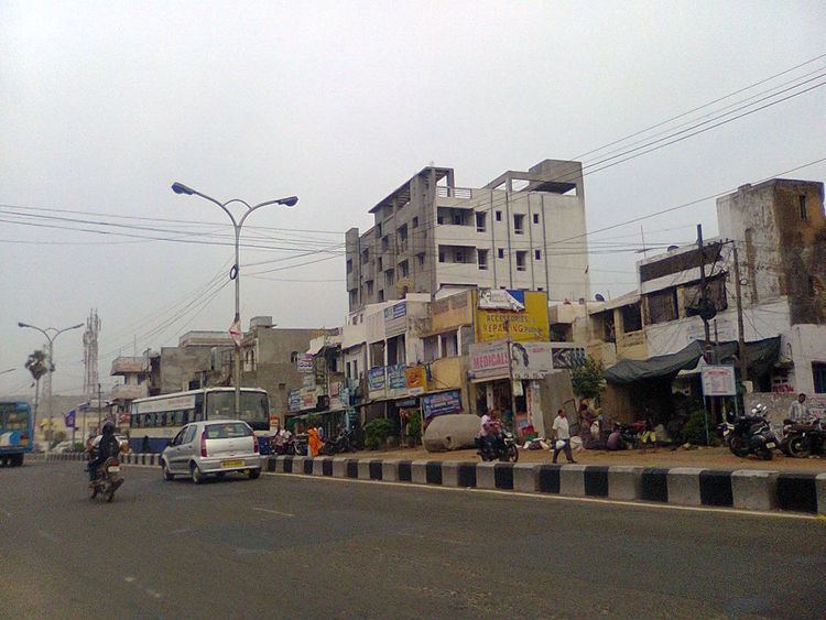
Growing into a factory town, since the 1980s it has seen a rapid increase in commercial establishments like shopping stores, etc. It is the focal point for commerce for most Navy Quarters and suburbs to its south, not counting its own
Localities
Neighbouring localities include Sri Hari Puram and Gajuwaka. Janatha Colony,Abedkar Colony, and Eedu gulla centre, are important residential areas in Malkapuram.
Transport
Malkapuram is well connected to Gajuwaka, NAD X Road, Maddilapalem, Visakhapatnam Railway Station, Simhachalam and Pendurthi.
References
Malkapuram, Visakhapatnam Wikipedia(Text) CC BY-SA