
- summer (DST) CEST (UTC+2) Area 8.7 km² | Elevation 128 m Local time Sunday 8:52 AM | |
 | ||
Weather 7°C, Wind W at 14 km/h, 67% Humidity Points of interest Kaštieľ, Pamätná studňa zastaveni, Tabuľa naučného chodníka | ||
Malinovo (Hungarian: Éberhárd) is a village and municipality in western Slovakia in Senec District in the Bratislava Region.
Contents
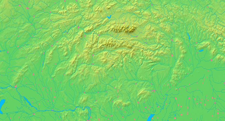
Map of Malinovo, Slovakia
Geography
The municipality lies at an altitude of 128 metres and covers an area of 8.829km².
History
In historical records the village was first mentioned in 1209. After the Austro-Hungarian army disintegrated in November 1918, Czechoslovak troops occupied the area, later acknowledged internationally by the Treaty of Trianon. Between 1938 and 1945 Malinovo once more became part of Miklós Horthy's Hungary through the First Vienna Award. From 1945 until the Velvet Divorce, it was part of Czechoslovakia. Since then it has been part of Slovakia.
Demographics
According to the 2011 census, the municipality had 1,861 inhabitants. 1,158 of inhabitants were Slovaks, 625 Hungarians, 13 Czechs and 65 others and unspecified.