
Type Street South end Prospect Hill Road Via Canterbury, Surrey Hills | Location Melbourne, Victoria Lga City of Boroondara | |
 | ||
NW end Canterbury Road, Surrey Hills, Melbourne Major suburbs Canterbury
Surrey Hills | ||
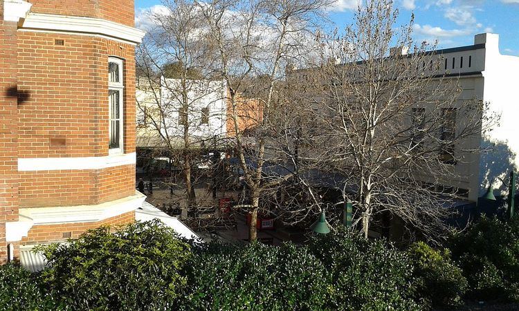
Maling Road is a popular shopping strip in Canterbury, Victoria, Australia. It contains over fifty Edwardian-style shops in a pseudo-village setting. Its location was chosen due to its proximity to Canterbury railway station.
Contents
Map of Maling Rd, Canterbury VIC 3126, Australia
History
The present-day shopping strip has its roots in the construction of the railway line at Canterbury railway station in 1882. Although most buildings in the area near the intersection with Canterbury Road date from the early 1900s, some were constructed before this time.
In the 1970s after the grade separation of the railway line across Canterbury Road, there were proposals to demolish large parts of the shopping centre and construct a supermarket. This was met with resistance from the local community and the project successfully stopped. A council proposal to turn part of the street into a pedestrian mall was also scrapped.