
- elevation 4,728 ft (1,441 m) Mouth Bear River | - elevation 4,222 ft (1,287 m) | |
 | ||
Similar Bear River, Rocky Mountains, Promontory Mountains, Ogden River, Cache Valley | ||
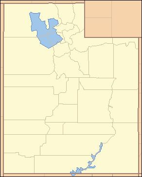
The Malad River is a 97-mile long (156 km) tributary of the Bear River in southeastern Idaho and northern Utah in the United States. The river flows southward, beginning northwest of Malad City, Idaho, crosses the Idaho-Utah state line just north of Portage, Utah, flows through Tremonton, and empties into the Bear River just south of Bear River City.
Map of Malad River, Utah, USA
Malad River was so named on account of the river making pioneers sick, malade meaning "sick" in French.
References
Malad River (Idaho-Utah) Wikipedia(Text) CC BY-SA