
Population 41,865 (2006) | County Maku Time zone IRST (UTC+3:30) Local time Sunday 2:02 AM | |
 | ||
Website Make Free Trade Zone Official Portal Weather 4°C, Wind W at 26 km/h, 72% Humidity | ||
Maku (Persian: ماكو, Azerbaijani: ماكي - Makı; also Romanized as Mākū) is a city in the West Azerbaijan Province, Iran. At the 2006 census, its population was 41,865, in 10,428 families.
Contents
Map of Maku, West Azerbaijan Province, Iran
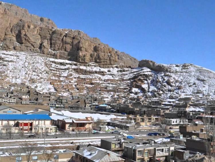
It is situated 22 kilometres (14 mi) from the Turkish border in a mountain gorge at an altitude of 1634 metres. The Zangmar River cuts through the city. Maku Free Trade and Industrial Zone is Iran’s largest and the world’s second largest free trade zone and will encompass an area of 5000 square km when it was scheduled to open in 2011. Azerbaijanis and later Kurds constitute the population of the city.
History
Maku was a region of the old Armenia c. 300-800, previously known as Artaz according to Aziz Atiya's History of Eastern Christianity. A branch of the family Amatuni ruled it, as vassals of the family Ardzruni.
Maku was the capital of a Kangarli Khanate one of numerous small, semi-independent Maku Khanates that resulted from the breakup of the Safavid empire in the 17th century.
The city is well known in Bahá'í history for its fort where the Báb had been exiled to and imprisoned for nine months. At this fortress Mullá Husayn, the first Disciple of the Báb, arrived on Náw-Rúz of the year 1848 to see the Báb.
Climate
Maku has a semi-arid climate (Köppen BSk) owing to its location in the rain shadow of the Zagros Mountains. The city is hot and dry in the summer, and cold with little snow in the winter. Most precipitation comes from spring thunderstorms.
Population
According to the 2006 census, the city has a population of 42.500 The language in Maku is Azerbaijani
- Baqcheh Jooq Palace: dates back to the end of the Qajar period. It used to be the house of the local governor until 1974. It is 7 km northwest of central Maku and presently functions as a museum displaying some carpets and local handicrafts.
- Farhad's Home: A place near Baqcheh Jooq Palace. A small home with a hall and two rooms that carved into the rock. The saying comes form the story Farhad and Shirin.
- Ruins of a fortress are folded into a ledge of the high cliff that towers above the town centre.
- Hiking : it is advisable to have a guide or stay within eyesight of the town. Due to its proximity to the Turkish border, it is easy to cross the border unintentionally.
- Rock climbing: There are numerous rock climbing sites at the northern part of the city, some exceeding 200 meters.
- Panj Cheshmeh - This bridge is located 5 km. from Maku on the Zangmar River, and is a monument from the Safavid era. This bridge was constructed in order to facilitate communications between Tabriz and Maku, and the surrounding rural areas.