Puneet Varma (Editor)

Mainland, Shetland

Updated on
Edit
Like
Comment
Share on FacebookTweet on TwitterShare on LinkedInShare on Reddit
Norse name
  
Megenland

Area rank
  
3

Country
  
Scotland

Highest elevation
  
450 m

Lieutenancy area
  
Shetland

OS grid reference
  
HU414553

Sovereign state
  
United Kingdom

Area
  
968.8 km²

Council area
  
Shetland

Island groups
  
British Isles, Shetland

Mainland, Shetland httpswwwlovescottishislandscomwpcontentupl

Meaning of name
  
Old Norse for 'mainland'

Points of interest
  
Shetland Museum, Scalloway Castle, Broch of Clickimin, Sumburgh Head Lighthouse, Jarlshof Prehistoric and Nors

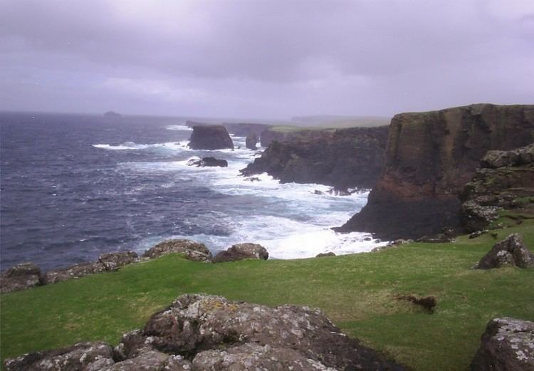
The Mainland is the main island of Shetland, Scotland. The island contains Shetland's only burgh, Lerwick, and is the centre of Shetland's ferry and air connections.

Map of Mainland, Shetland, UK

It has an area of 374 square miles (970 km2), making it the third largest Scottish island and the fifth largest of the British Isles after Great Britain, Ireland, Lewis and Harris and Skye.

The mainland can be broadly divided into four sections.

  • The long southern peninsula, south of Lerwick, has a mixture of moorland and farmland and contains many important archaeological sites.
  • Bigton
  • Sandwick
  • Scalloway
  • Sumburgh
  • The Central Mainland has more farmland and some woodland plantations.
  • The West Mainland
  • Aith
  • Walls
  • The North Mainland – in particular the large Northmavine peninsula, connected to Mainland by a narrow isthmus at Mavis Grind – is wild, with much moorland and coastal cliffs. The North Mainland contains Sullom Voe, whose oil terminal is an important source of employment for the islanders.
  • Brae
  • North Roe
  • Vidlin
  • This island is the second most populous of the Scottish islands, and had 18,765 residents in 2011 compared to 17,550 in 2001.

    References

    Mainland, Shetland Wikipedia


    Similar Topics