
Country United States Time zone CST (UTC-6) Elevation 170 m Local time Saturday 8:24 AM | Established March 18, 1898 ZIP codes 60416, 60424, 60444 Area 46.85 km² Population 330 (2010) | |
 | ||
Weather 3°C, Wind NW at 19 km/h, 76% Humidity | ||
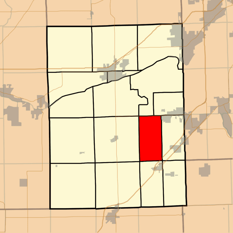
Maine Township is one of seventeen townships in Grundy County, Illinois, USA. As of the 2010 census, its population was 330 and it contained 120 housing units.
Contents
- Map of Maine Township IL USA
- Geography
- Cities towns villages
- Unincorporated towns
- Major highways
- Airports and landing strips
- School districts
- Political districts
- References
Map of Maine Township, IL, USA
Geography
According to the 2010 census, the township has a total area of 18.09 square miles (46.9 km2), of which 17.91 square miles (46.4 km2) (or 99.00%) is land and 0.18 square miles (0.47 km2) (or 1.00%) is water.
Cities, towns, villages
Unincorporated towns
(This list is based on USGS data and may include former settlements.)
Major highways
Airports and landing strips
School districts
Political districts
References
Maine Township, Grundy County, Illinois Wikipedia(Text) CC BY-SA