
NRHP Reference # 86002837 Local time Saturday 8:08 AM | Area 65 ha Added to NRHP 4 September 1986 | |
 | ||
Weather -6°C, Wind NW at 6 km/h, 67% Humidity | ||
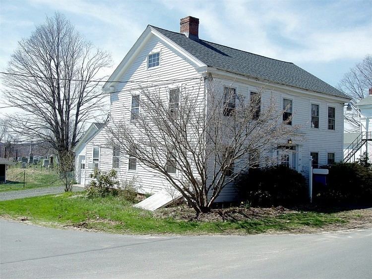
The Main Street Historic District in Durham, Connecticut is a historic district that was listed on the National Register of Historic Places in 1986. The district is primarily linear and runs along Main Street (Route 17) from between Higganum Road and Town House Road in the south to Talcott Lane in the north. The district also includes properties on the parallel road known as Maple Avenue. It contains 112 contributing and 23 non-contributing properties over an area of 160 acres (65 ha). The area is also known as Durham Center and is where several state highways converge. The district encompasses the historic town center of Durham, and includes most of its colonial architecture, as well as many of its civic buildings.
Map of Durham Center, Durham, CT 06422, USA
References
Main Street Historic District (Durham, Connecticut) Wikipedia(Text) CC BY-SA