
OS grid reference TF321794 Local time Saturday 10:42 AM | Sovereign state United Kingdom Postcode district LN11 | |
 | ||
Weather 13°C, Wind W at 31 km/h, 76% Humidity | ||
Maidenwell is a village and civil parish in the East Lindsey district of Lincolnshire, England. It is situated 6 miles (10 km) south from Louth. The village population is included in the civil parish of Burwell.
Contents
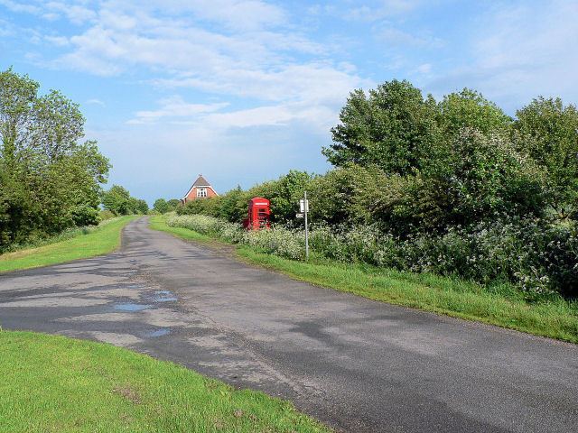
Map of Maidenwell, UK
History
A Prehistoric or Roman trackway and settlement has been identified through the village. and several Neolithic burials, including a typical early long barrow.
The village of Maidenwell, separately assessed in documents of 1334, was united with Farforth parish in 1450 or possibly 1592. Maidenwell was probably depopulated about 1400-28. Significant earthworks of the former medieval settlement were still traceable in the 20th century.
Community
The village falls within the ecclesiastical parish of Ruckland with Farforth in The South Ormsby Group of the Deanery of Bolingbroke. The 2013 incumbent is the Revd Cheryl Hilliam. The parish includes the hamlet of Oxcombe. The parish church is the tiny church of St Olave at Ruckland.