
Time zone WAT (UTC+1) Area 528 km² | established 1990 3-digit postal code prefix 824 Local time Saturday 11:04 AM | |
 | ||
Weather 36°C, Wind E at 19 km/h, 5% Humidity | ||
Mai'Adua (or Maiaduwa) is a Local Government Area in Katsina State, Nigeria, sharing a border with the Republic of Niger. Its headquarters are in the town of Mai'Adua on the A2 highway.
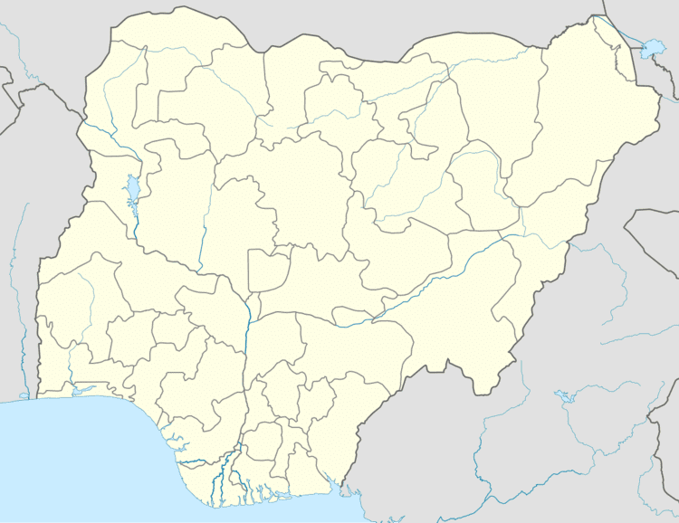
Map of Maiadua, Nigeria
It has an area of 528 km² and a population of 201,178 at the 2006 census.
The postal code of the area is 824.
References
Mai'Adua Wikipedia(Text) CC BY-SA