
District Dima Hasao Vehicle registration AS Population 5,485 (2001) ISO 3166 code ISO 3166-2:IN | Time zone IST (UTC+5:30) Elevation 727 m Local time Saturday 3:11 PM | |
 | ||
Weather 22°C, Wind SW at 11 km/h, 51% Humidity | ||
Mahur (IPA: mɑːʊə) is a town and a town area committee in Dima Hasao district in the Indian state of Assam.
Contents
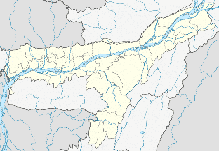
Map of Mahur, Assam 788830
Geography
Mahur is located at 25.17°N 93.12°E / 25.17; 93.12. It has an average elevation of 727 metres (2385 feet).
Transportation
Though there is no direct Air connection to Mahur, one can fly to Guwahati or Silchar or Dimapur from where easy road or rail options are available. Mahur railway station of Lumding-Badarpur section provides the rail connectivity in Mahur with Guwahati and Silchar.
Demographics
As of 2001 India census, Mahur had a population of 5485. Males constitute 55% of the population and females 45%. Mahur has an average literacy rate of 76%, higher than the national average of 59.5%: male literacy is 80%, and female literacy is 71%. In Mahur, 13% of the population is under 6 years of age.