
Country United States GNIS feature ID 0647392 Zip code 55707 Local time Saturday 4:34 AM | State Minnesota Elevation 351 m Population 370 (2010) Area code 218 | |
 | ||
Weather -3°C, Wind NW at 21 km/h, 83% Humidity Area 27.46 km² (27.43 km² Land / 2 ha Water) | ||
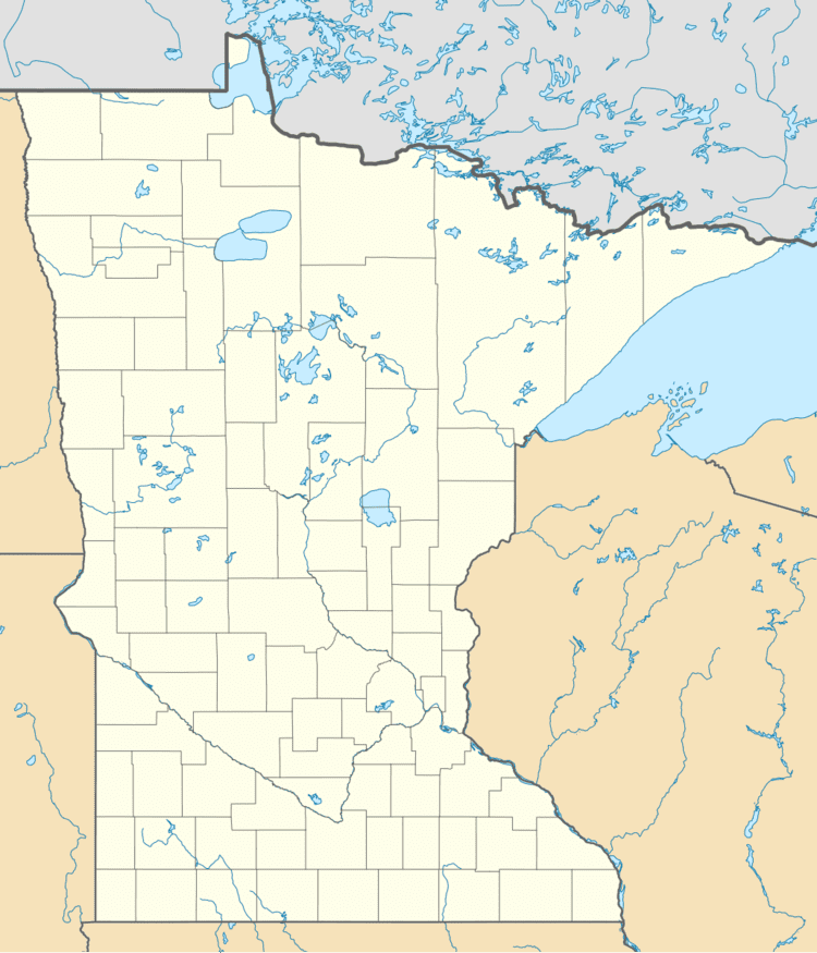
Mahtowa is an unincorporated community and census-designated place (CDP) in Mahtowa Township, Carlton County, Minnesota, United States. As of the 2010 census, its population was 370.
Map of Mahtowa, MN 55707, USA
The community is located between Cloquet and Moose Lake, near the junction of Interstate 35 and Carlton County Road 4.
County Road 4 and County Road 61 are two of the main routes in Mahtowa.
Mahtowa is located 13 miles southwest of Cloquet. Mahtowa is located 11 miles northeast of Moose Lake; and 32 miles southwest of Duluth.
References
Mahtowa, Minnesota Wikipedia(Text) CC BY-SA