Elevation 2,409 m | Topo map USGS Mahoney Butte Prominence 148 m | |
 | ||
Similar Baker Peak, Big Peak, Hyndman Peak, Ryan Peak, Bald Mountain | ||
Mahoney Butte, at 7,904 feet (2,409 m) above sea level is a peak in the Smoky Mountains of Idaho. The peak is located in Sawtooth National Forest in Blaine County. It is located in the watershed of Greenhorn Creek, a tributary of the Big Wood River. It is about 4.6 mi (7.4 km) southwest of Bald Mountain. No roads or trails go to the summit, although the peak is most easily accessed from trails at the end of road 117.
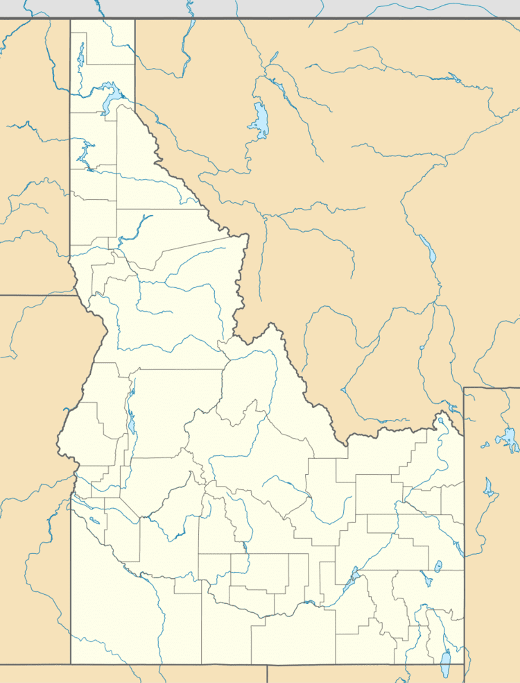
Map of Mahoney Butte, Idaho 83340, USA
References
Mahoney Butte Wikipedia(Text) CC BY-SA
