
Barangays ZIP code 5101 Population 36,016 (2015) | Time zone PST (UTC+8) Area 296.7 km² Local time Saturday 11:54 AM Dialling code 43 | |
 | ||
Weather 32°C, Wind NE at 19 km/h, 49% Humidity Neighborhoods Calawag, Sibalat, Mangarin B, Laste | ||
Magsaysay is a third class municipality in the province of Occidental Mindoro, Philippines. According to the 2015 census, it has a population of 36,016 people.
Contents
Map of Magsaysay, Occidental Mindoro, Philippines
Geography
Magsaysay, one of the eleven municipalities in the Province of Occidental Mindoro, lies on the southernmost part of Mindoro Island, and is adjacent to the municipality of San Jose on the north; on the east separated by chain of valleys and mountains in the municipality of Bulalacao, Oriental Mindoro; on the south, by Garza Island; and on the west by Iling Island. It is facing the China Sea, with vast plains and valleys. It is characterized by rugged terrain with plain areas. Slope ranges from level to very steep sloping areas. The highest point of elevation is 543 feet above sea level.
The municipality has a total land area of 29,670 hectares (73,300 acres) with a land density of 91.0 per square kilometer. Magsaysay is characterized by rugged terrain with plain areas located at Barangays Calawag, Gapasan, Laste, Nicolas, Purnaga and Sibalat. Slope of 3-8 percent are observed in the surroundings of Barangays Alibog, Lourdes, Paclolo, Poblacion and Sta. Teresa. It is drained by the Caguray River.
Slope ranges from level to very steeply sloping land. The highest point of elevation at 543 feet above sea level located at the north-east portion of Barangay Purnaga, which has slopes of 18 percent and above. Majority or 97.14 percent of the total land area falls below 18 percent slope, which is based on the Forestry Code can be classified Alienable and Disposable or areas that can be owned. This manifests minimal limitation in terms of land development for land falling above 18 percent or land classified as forests have minimal share of only 2.86 percent.
The municipality has abundant water resource for domestic consumption and irrigation supply. Ground water serves as a main source of potable water supply including natural springs. Various river systems also traverse the locality, which is being utilized for irrigation such as Caguray River. In the same manner, it also serves as a natural drainage system in the locality.
Barangays
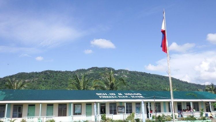
Magsaysay is politically subdivided into 12 barangays, one of which is classified urban and the rest are rural. Five barangays of the municipality are coastal barangays.
Demographics
Since 1970, total population has been continuously increasing with fluctuating growth rate. The highest growth rate of 5.98 percent was noted between 1975 and 1980 while the least growth rate of 1.76 percent was recorded between 1985-1990.