
Basin size 1,686 km (651 sq mi) Discharge 40 m³/s Country Italy | Length 62 km Mouth Tyrrhenian Sea Mouth elevation 0 | |
 | ||
Main source Between Monte Borgognone and Monte Tavola
1,200 m (3,900 ft) River mouth Tyrrhenian Sea
0 m (0 ft) Sources Monte Tavola, Monte Borgognone | ||
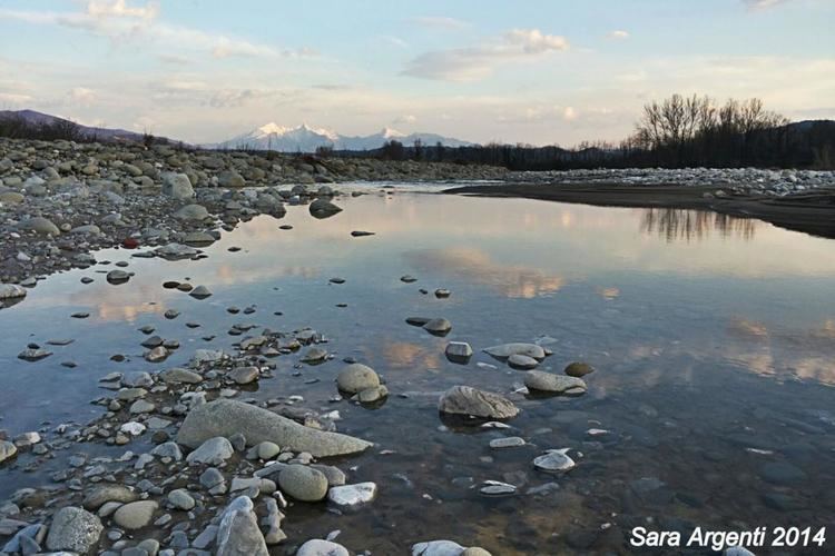
The Magra is a 62-kilometre (39 mi) long river of Northern Italy, which runs through Pontremoli, Filattiera, Villafranca in Lunigiana and Aulla in the province of Massa-Carrara (Tuscany); Santo Stefano di Magra, Vezzano Ligure, Arcola, Sarzana and Ameglia in the province of La Spezia (Liguria).
Map of Magra, Italy
In Roman times, it was known as the Macra and marked the eastern boundary of the territory of Liguria.
The river’s drainage basin occupies around 1,686 km2 (651 sq mi). Its most important tributary is the Vara which joins the Magra from the right within the commune of Santo Stefano di Magra.
References
Magra (river) Wikipedia(Text) CC BY-SA