
Time zone EET (UTC+2) Vehicle registration Z Area code 210 | Elevation 61 m (200 ft) Postal code 190 18 Local time Saturday 5:38 AM Municipality Eleusis | |
 | ||
Weather 6°C, Wind N at 10 km/h, 77% Humidity | ||
Magoula (Greek: Μαγούλα) is a town and former community (pop. 4,992 in 2011) of West Attica, Greece. Since the 2011 local government reform it is part of the municipality Eleusis, of which it is a municipal unit. The municipal unit has an area of 18.134 km2.
Map of Magoula 196 00, Greece
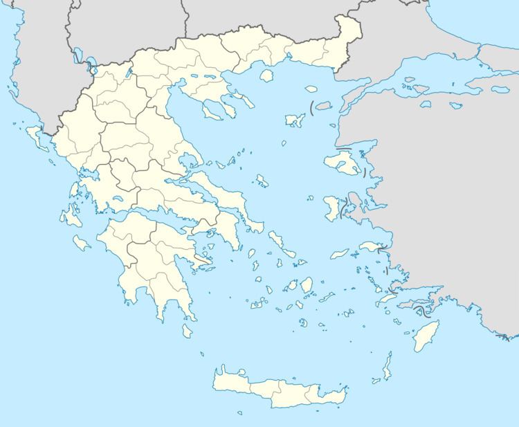
Magoula is located 2 km east of Mandra, 5 km north of Eleusis and 21 km northwest of central Athens. The municipal unit of Magoúla also includes the village of Néos Póntos (pop. 257). Magoula is served by a station on the Athens Airport–Kiato railway. Motorway 6 runs southeast of the town.
References
Magoula, Attica Wikipedia(Text) CC BY-SA