
Country United States Time zone Central (CST) (UTC-6) Elevation 32 m | Elevation32 105 ft (32 m) GNIS feature ID 692034 Local time Friday 7:46 PM | |
 | ||
Weather 21°C, Wind S at 11 km/h, 59% Humidity | ||
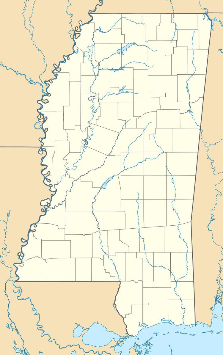
Magna Vista is a ghost town in Issaquena County, Mississippi.
Map of Magna Vista, Mississippi, USA
Magna Vista originated as a postal village located directly on the Mississippi River. It had a population of 50 in 1900.
In 1934, the U.S. Army Corps of Engineers began construction of the Newman Cutoff, which created Chotard Lake and Albemarle Lake, both oxbow lakes, and removed Magna Vista from the contiguous Mississippi River.
The place where Magna Vista was located is now directly on top of the Mississippi Levee. Nothing remains of the former settlement.
References
Magna Vista, Mississippi Wikipedia(Text) CC BY-SA