
Adjacent bodies of water Pacific ocean Highest elevation 5,446 ft (1,659.9 m) Region Aisén | Coastline 435.5 km (270.61 mi) Highest point Mount Montalat Area 2,025 km² | |
 | ||
Magdalena Island is an island in Aysén Region of southern Chile. The island is located between the Moraleda Channel and the Puyuhuapi Channel, and belongs partially to the Isla Magdalena National Park. The United States Hydrographic Office assigns four different names for this island: Isla de Cay, Isla Desierto, Isla Magdalena, and Isla de Motalat.
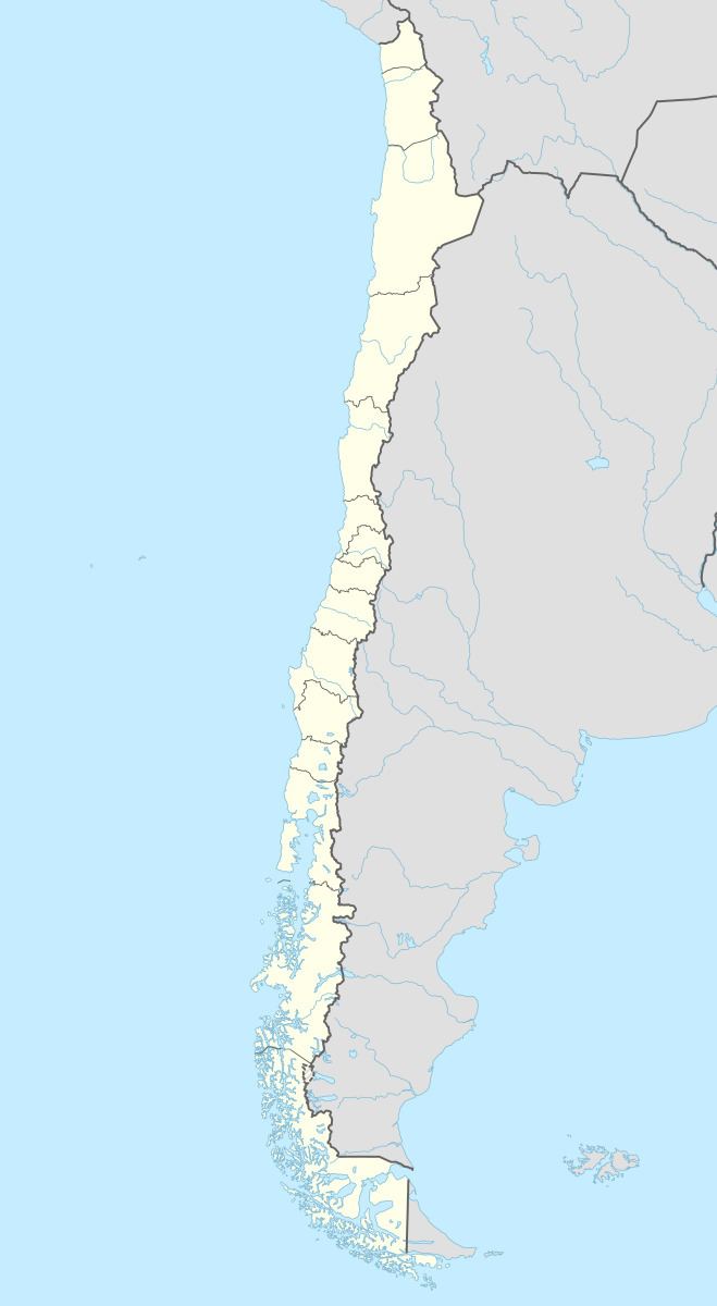
Map of Magdalena Island, Cisnes, XI Regi%C3%B3n, Chile
This large island extends into the continental coast, from which it is divided by the channels just mentioned. In its central part the extinct volcano Montalat rises to a height of 5,446 feet. The crater is at all times full of snow. In. the west coast of the island is Pangal Inlet, which is of no use to navigation. Five miles farther north of this is Senec Island, low and sloping, forming a good day mark, which should be left to the eastward in passing.