
District Maevatanana Climate Aw Local time Friday 10:57 PM | Time zone EAT (UTC3) Elevation 70 m Population 24,000 (2001) | |
 | ||
Weather 27°C, Wind E at 3 km/h, 89% Humidity | ||
Maevatanana is a city and commune urbaine (Malagasy: kaominina) in Madagascar. The city is in the central-north part of the island, at the Ikopa River, and is connected by the national road RN 4 to Antananarivo and Mahajanga. The altitude is low and as it is located far from the coast, temperatures tend to be high. The city belongs to the district of Maevatanana, which is a part of Betsiboka Region. Maevatanana is the capital of the Betsiboka region, and the population of the commune was estimated to be approximately 24,000 in 2001 commune census.
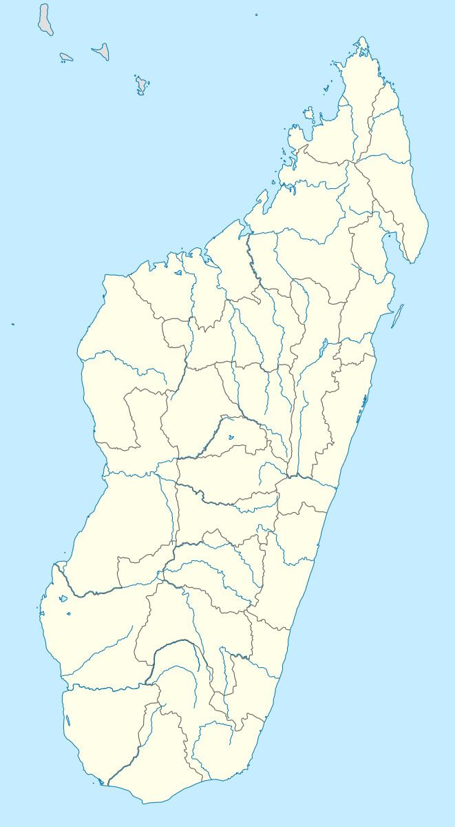
Map of Maevatanana, Madagascar
In addition to primary schooling the town offers secondary education at both junior and senior levels. The town has a permanent court and hospital. The majority 60% of the population of the commune are farmers, while an additional 7% receives their livelihood from raising livestock. The most important crops are rice and tobacco; also sweet potatoes are an important agricultural product. Industry and services provide employment for 5% and 15% of the population, respectively. Additionally fishing employs 13% of the population.