
Grid reference ST606475 Area 2 ha Notification 1995 | Interest Geological | |
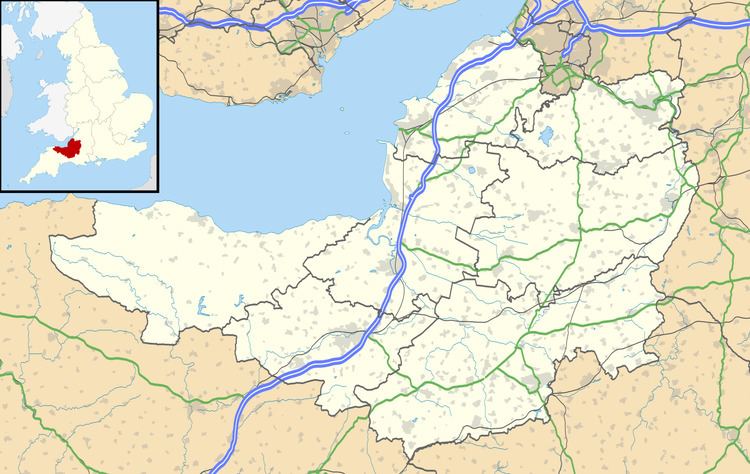 | ||
Maesbury Railway Cutting (grid reference ST606475) is a 2 hectare geological Site of Special Scientific Interest between East Horrington and Gurney Slade in Somerset, notified in 1995.
It was part of the Somerset and Dorset Joint Railway.
This is a Geological Conservation Review site because it exposes approximately 135 metres of strata representing the middle and upper Lower Limestone Shales and the basal Black Rock Limestone. Both formations are of early Carboniferous (Courceyan) age.
It lies close to the Iron Age hill fort Maesbury Castle.
References
Maesbury Railway Cutting Wikipedia(Text) CC BY-SA