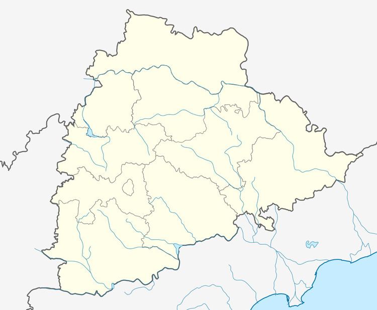
Country India District Mahaboobnagar Vehicle registration TS06 Elevation 503 m | State Telangana Time zone IST (UTC+5:30) Climate hot (Köppen) | |
 | ||
Maddur is a Mandal in Mahbubnagar district, Telangana.
Contents
Map of Maddur, Telangana 509411
Geography
Maddur is located at 16.8667°N 77.6167°E / 16.8667; 77.6167. It has an average elevation of 503 metres (1653 ft).
Villages
The villages in Maddur mandal include:
This village is well connected to district headquarters Mahabubnagar, maddur, narayanpeta and Kosgi by road. It is 40 km far from mahabubnagar,for every one hour two buses fly between mahaboobnagar and this village. This village is famous for Anjaneya Temple. population of this village: ~2500 sex ratio: ~0.98(98 per females per 100 males) official languages:Telugu, Urdu crops: Rice, Cotton,Ground nut....etc.
This village is well connected to district headquarters Mahabubnagar, maddur, narayanpeta and raichur by road. It is 30 km far from mahabubnagar,for every one hour two buses fly between mahaboobnagar and this village. This village is famous for Shivaji Temple. population of this village: ~600 sex ratio: ~0.98(98 per females per 100 males) official languages:Telugu, Urdu crops: rice, cotton....etc.
