Time zone IST (UTC+5:30) Local time Friday 5:08 PM Area code 02475 | Telephone code 02475 Population 5,113 (2001) | |
 | ||
Weather 33°C, Wind NW at 14 km/h, 17% Humidity | ||
Madaj is a panchayat village in the state of Maharashtra, India. Administratively, Madaj is under Umarga Tahsil of Osmanabad District in Maharashtra. There is only the single village of Madaj in the Madaj gram panchayat. The village of Madaj is 17 km by road north of the town of Umarga and 20 km by road southeast of the village of Sastur.
Contents
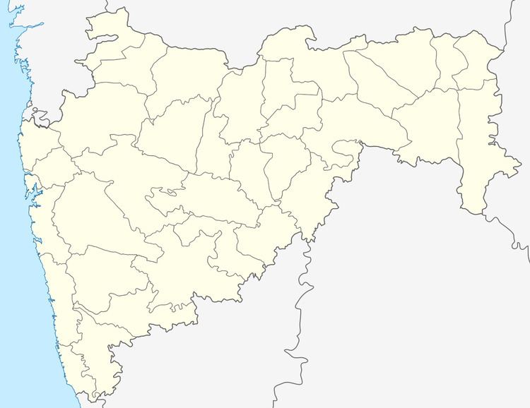
Map of Madaj, Maharashtra 413606
Demographics
In the 2001 census, the village of Madaj had 5,113 inhabitants, with 2,667 males (52.2%) and 2,446 females (47.8%), for a gender ratio of 917 females per thousand males.
In the 2011 census, the village of Madaj reported 2,888 inhabitants. No explanation has been found for the large reduction in reported population.
Temples
Madaj is an old village with several temples. These include:
- shri vaijnath maharaj temple is also one of the beuti of madaj.at the center of town in the lake temple is located.
References
Madaj, Maharashtra Wikipedia(Text) CC BY-SA
