
Country United States Time zone CST (UTC-6) Elevation 233 m Local time Friday 1:57 AM | Established November 6, 1849 ZIP codes 61314, 61345, 61368 Area 94.82 km² Population 208 (2010) | |
 | ||
Weather 3°C, Wind SE at 11 km/h, 69% Humidity | ||
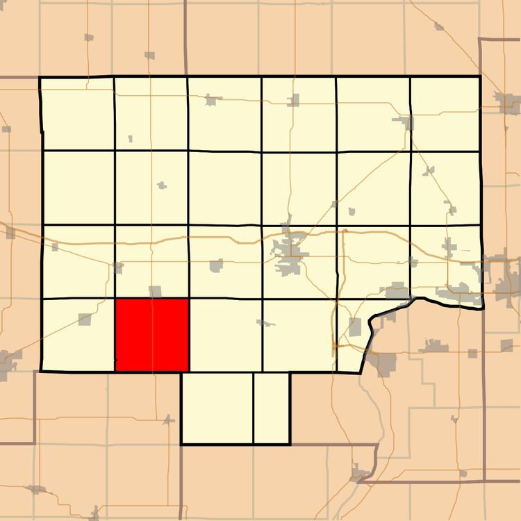
Macon Township is one of twenty-five townships in Bureau County, Illinois, USA. As of the 2010 census, its population was 208 and it contained 95 housing units. Macon Township changed its name from Jefferson Township in June, 1850.
Contents
- Map of Macon Township IL USA
- Geography
- Unincorporated towns
- Cemeteries
- Major highways
- School districts
- Political districts
- References
Map of Macon Township, IL, USA
Geography
According to the 2010 census, the township has a total area of 36.61 square miles (94.8 km2), all land.
Unincorporated towns
(This list is based on USGS data and may include former settlements.)
Cemeteries
The township contains these four cemeteries: Bunker Hills Cemetery, Mount Pleasant, Walnut Grove and Wood Family.
Major highways
School districts
Political districts
References
Macon Township, Bureau County, Illinois Wikipedia(Text) CC BY-SA