
Country United States FIPS code 36-44391 Elevation 92 m Local time Friday 2:50 AM | State New York Time zone Eastern (EST) (UTC-5) GNIS feature ID 0979181 Population 906 (2010) | |
 | ||
Weather -7°C, Wind W at 8 km/h, 50% Humidity Area 163.7 km² (158.5 km² Land / 4.921 km² Water) | ||
Macomb is a town in St. Lawrence County, New York, United States. The population was 906 at the 2010 census. The town is named after Alexander Macomb, who once owned much of northern New York as Macomb's Purchase.
Contents
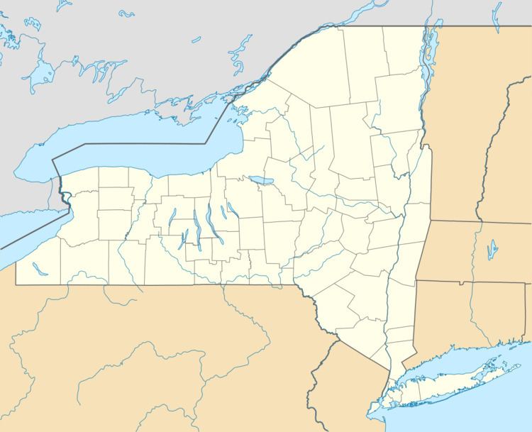
Map of Macomb, NY, USA
The Town of Macomb is in the northwest part of the county and is northwest of Gouverneur.
History
The first settlers of the region arrived after 1810.
The town was formed in 1841 from parts of the Towns of Gouverneur and Morristown. In 1842, a small part of the Town of Hammond was added to Macomb.
Mining was an early industrial activity in Macomb.
Geography
According to the United States Census Bureau, the town has a total area of 63.2 square miles (164 km2), of which, 61.2 square miles (159 km2) of it is land and 1.9 square miles (4.9 km2) of it (3.07%) is water.
The northwestern part of the town borders Black Lake, which defines the northern town line. The southeastern town line is defined by Beaver Creek.
New York State Route 58 is a north-south highway, which intersects New York State Route 184 at Popes Mills.
Demographics
As of the census of 2000, there were 846 people, 310 households, and 226 families residing in the town. The population density was 13.8 people per square mile (5.3/km²). There were 864 housing units at an average density of 14.1 per square mile (5.4/km²). The racial makeup of the town was 97.75% White, 1.06% Native American, 0.12% Asian, 0.12% from other races, and 0.95% from two or more races. Hispanic or Latino of any race were 0.47% of the population.
There were 310 households out of which 35.2% had children under the age of 18 living with them, 61.0% were married couples living together, 7.1% had a female householder with no husband present, and 26.8% were non-families. 19.0% of all households were made up of individuals and 7.1% had someone living alone who was 65 years of age or older. The average household size was 2.73 and the average family size was 3.13.
In the town, the population was spread out with 27.2% under the age of 18, 8.7% from 18 to 24, 27.0% from 25 to 44, 24.5% from 45 to 64, and 12.6% who were 65 years of age or older. The median age was 37 years. For every 100 females there were 107.9 males. For every 100 females age 18 and over, there were 101.3 males.
The median income for a household in the town was $32,115, and the median income for a family was $33,750. Males had a median income of $27,188 versus $18,625 for females. The per capita income for the town was $12,526. About 11.9% of families and 20.2% of the population were below the poverty line, including 25.2% of those under age 18 and 20.2% of those age 65 or over.