
Country South Africa District Joe Gqabi Established 1876 Area 9.2 km² Local time Friday 8:30 AM | Province Eastern Cape Municipality Elundini Elevation 1,272 m (4,173 ft) Population 10,521 (2011) Area code 045 | |
 | ||
Weather 19°C, Wind NW at 6 km/h, 49% Humidity | ||
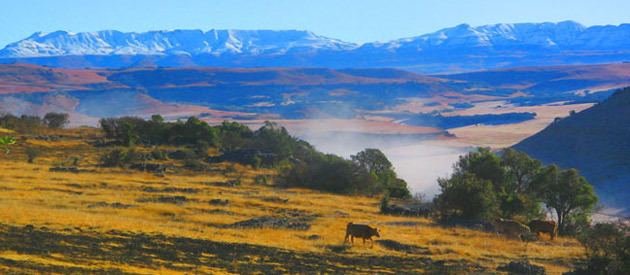
Maclear is a small town situated in the Eastern Cape province of South Africa, near the Mooi River (a tributary of the Tsitsa River), 172 km north of East London and 80 km north-east of Elliot. It was founded in 1876 as a military camp, called Nqanqaru Drift and developed rapidly, reaching municipal status in 1916. Was named after Sir Thomas Maclear (1794-1879), a famous astronomer who laid the foundation for a trigonometrical survey of the Cape Colony.
Contents
Map of Maclear, 5480, South Africa
It lies just north-east of Ugie. The land to the east and south was part of the former homeland of Transkei.
Tourism
Maclear is a popular trout-fishing resort set in beautiful surroundings.
Maclear lies between Mount Fletcher and Ugie.
References
Maclear, Eastern Cape Wikipedia(Text) CC BY-SA