
Country United States County Washington ZIP code 27970 (Roper, NC) Area code 252 | State North Carolina Time zone Eastern (EST) (UTC-5) Local time Friday 2:08 AM | |
 | ||
Weather -1°C, Wind NE at 3 km/h, 62% Humidity | ||
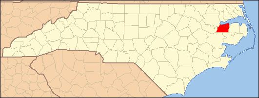
Mackeys is an unincorporated community in Washington County, North Carolina, United States. Mackeys is located in North Carolina's Inner Banks regions and is located at the mouth of the Mackeys Creek on the south side of the Albemarle Sound.
Contents
Map of Mackeys, Lees Mill, NC 27970, USA
Railroad history
The Norfolk Southern Railway ran through Mackeys since the turn of the 20th century. The railroad ran from Mackeys to Columbia and from Mackeys to Belhaven. The trains used meet back in Mackeys and then go their ways towards Raleigh via Plymouth or Norfolk via Edenton and Elizabeth City. Prior to the Albemarle Sound Trestle being built, trains used to cross to Edenton via a ferry. In 1910 the Norfolk Southern Railroad built a wooden trestle bridging the 5.05 mi from Mackeys to Edenton
In the late 1980s Norfolk Southern discontinued use of the Albemarle Sound Trestle due to maintenance costs and subsequently dismantled it. This created a short-line from Plymouth to Mackeys. Agriculture products were loaded at the site where the train station used to be until 2004 when the tracks were removed. Today the tracks only run a mile outside the Plymouth city limits to the east into the industrial park.