
Local time Friday 6:09 AM | Population 33 | |
 | ||
Weather 0°C, Wind S at 16 km/h, 84% Humidity Voivodeship Warmian-Masurian Voivodeship | ||
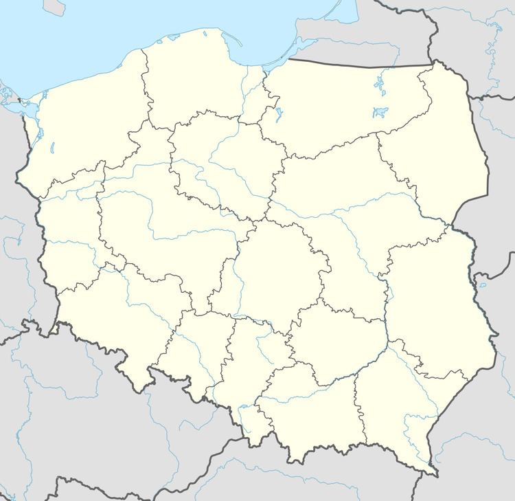
Maciejowięta [mat͡ɕejɔˈvjɛnta] is a village in the administrative district of Gmina Dubeninki, within Gołdap County, Warmian-Masurian Voivodeship, in northern Poland, close to the border with the Kaliningrad Oblast of Russia. It lies approximately 8 kilometres (5 mi) east of Dubeninki, 25 km (16 mi) east of Gołdap, and 153 km (95 mi) east of the regional capital Olsztyn.
Map of Maciejowi%C4%99ta, Poland
Before 1945, the area was part of Germany (East Prussia).
The village has a population of 33.
References
Maciejowięta Wikipedia(Text) CC BY-SA