
Time zone IST (UTC+5:30) Local time Friday 9:19 AM University Krishna University | Area 38.18 km² Population 570 (2011) | |
 | ||
Weather 29°C, Wind S at 3 km/h, 69% Humidity | ||
Machilipatnam (rural) is a village in Krishna district of the Indian state of Andhra Pradesh. It is located on the coast of Bay of Bengal in Machilipatnam mandal of Machilipatnam revenue division.
Contents
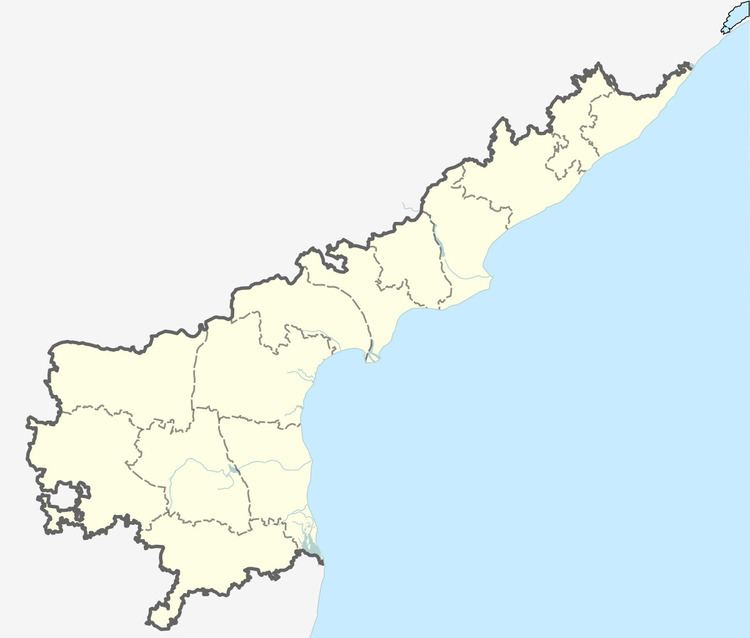
Map of Machilipatnam Rural, Andhra Pradesh
Demographics
As of 2011 Census of India, Machilipatnam (rural) had a population of 570. The total population constitute, 285 males and 285 females —a sex ratio of 1000 females per 1000 males. 52 children are in the age group of 0–6 years, of which 28 are boys and 24 are girls —a ratio of 857 per 1000. The average literacy rate stands at 81.08% with 420 literates, significantly higher than the state average of 67.41%.
References
Machilipatnam (rural) Wikipedia(Text) CC BY-SA