
Country Brazil Municipality Machadinho d'Oeste Time zone UTC-4 Population 31,135 (2010) | State Rondonia Demonym(s) machadinhense-d'oeste Area 8,509 km² Local time Thursday 11:04 PM | |
 | ||
Weather 24°C, Wind SE at 3 km/h, 95% Humidity | ||
Conhecendo o brasil machadinho d oeste rond nia
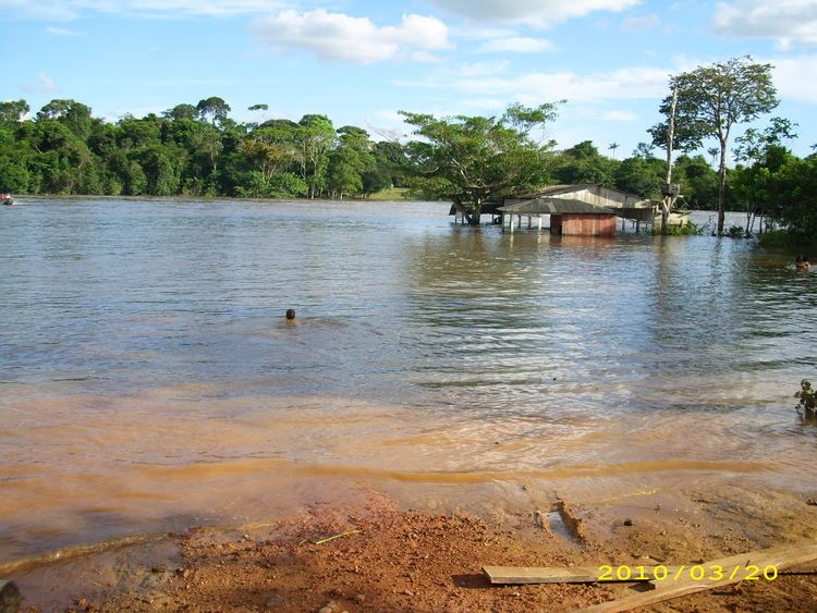
Machadinho d'Oeste is a municipality located in the Brazilian state of Rondônia. Its population was 28,649 (2005) and its area is 8,509 km².
Contents
- Conhecendo o brasil machadinho d oeste rond nia
- Map of Machadinho dOeste State of RondC3B4nia Brazil
- References
Map of Machadinho d'Oeste - State of Rond%C3%B4nia, Brazil
The municipality contains part of the 346,861 hectares (857,110 acres) Jaru Biological Reserve, a fully protected conservation unit created in 1984. It also contains 13% of the Campos Amazônicos National Park, a 961,318 hectares (2,375,470 acres) protected area created in 2006 that protects an unusual enclave of cerrado vegetation in the Amazon rainforest.
The municipality contains 78% of the Angelim Extractive Reserve and 79% of the Ipê Extractive Reserve. It also contains the Castanheira, Freijó, Garrote, Itaúba, Jatobá, Maracatiara, Massaranduba, Mogno, Piquiá, Roxinho and Sucupira extractive reserves.