
Quadrant SW Sector Southwest Elevation 688 m | Ward 9 Area 116 ha Population 5,629 (2012) | |
 | ||
Restaurants Chan Can Wok, Dairy Queen, Nomiya, Subway, Panago Pizza | ||
S o l d beautiful apartment condo in macewan edmonton
MacEwan is a residential neighbourhood in south Edmonton, Alberta, Canada.
Contents
- S o l d beautiful apartment condo in macewan edmonton
- Map of Macewan Edmonton AB Canada
- Demographics
- References
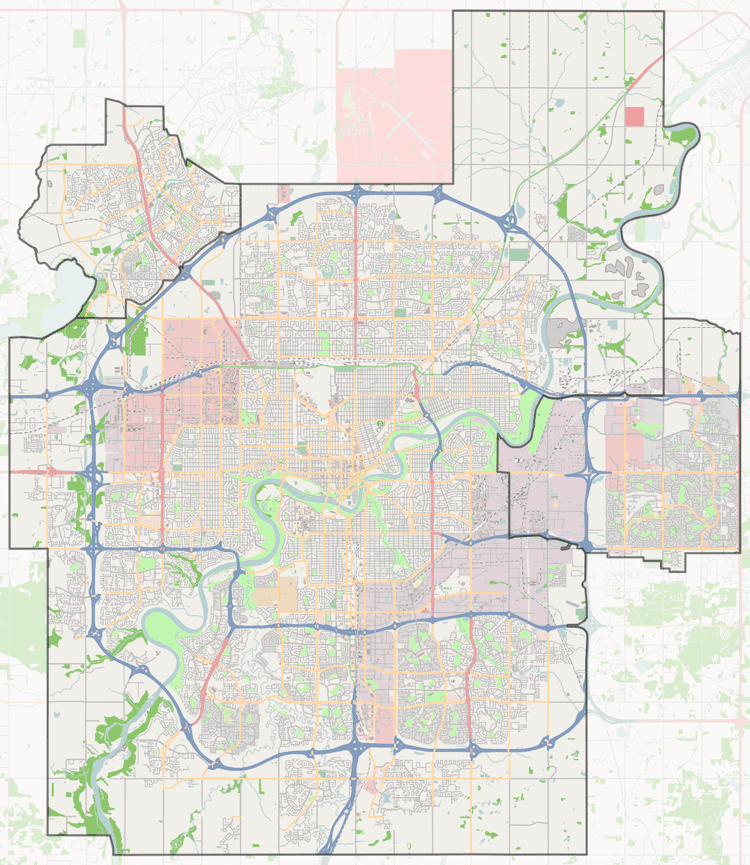
Map of Macewan, Edmonton, AB, Canada
Approximately half of the residences (52%) are single-family dwellings according to the 2005 municipal census. Another three in ten (29%) are rented apartments and apartment style condominiums. The remaining one in five (19%) are duplexes. Four out of five residences (83%) are owner-occupied with only one in five (17%) being rented.
On July 21, 2007, a $20 million fire destroyed a 149 unit condominium complex, which was under construction, along with 18 duplexes. The fire, which was attributed to arson, was the largest residential fire in Edmonton history.
There is a single school in the neighbourhood, Victory Christian School.
The neighbourhood is bounded on the north by the Anthony Henday Drive, on the west by 127 Street, on the east by 111 Street, and on the south by Ellerslie Road.
Demographics
In the City of Edmonton's 2012 municipal census, MacEwan had a population of 7003562900000000000♠5,629 living in 7003243300000000000♠2,433 dwellings, an 8.6% change from its 2009 population of 7003518500000000000♠5,185. With a land area of 1.16 km2 (0.45 sq mi), it had a population density of 7003485260000000000♠4,852.6 people/km2 in 2012.