
Time zone MST (UTC+05:00) | Distance to Malé 165.96 km (103.12 mi) Area 46 ha | |
 | ||
Maakurathu (Dhivehi: މާކުރަތު) is one of the inhabited islands of Raa Atoll in the Maldives.
Contents
- Map of Maakurathu Maldives
- Government Offices In Maakurathu
- Clubs and NGOs In Maakurathu
- Education Center in Maakurathu
- Holhu ashi in a Maakurath
- References
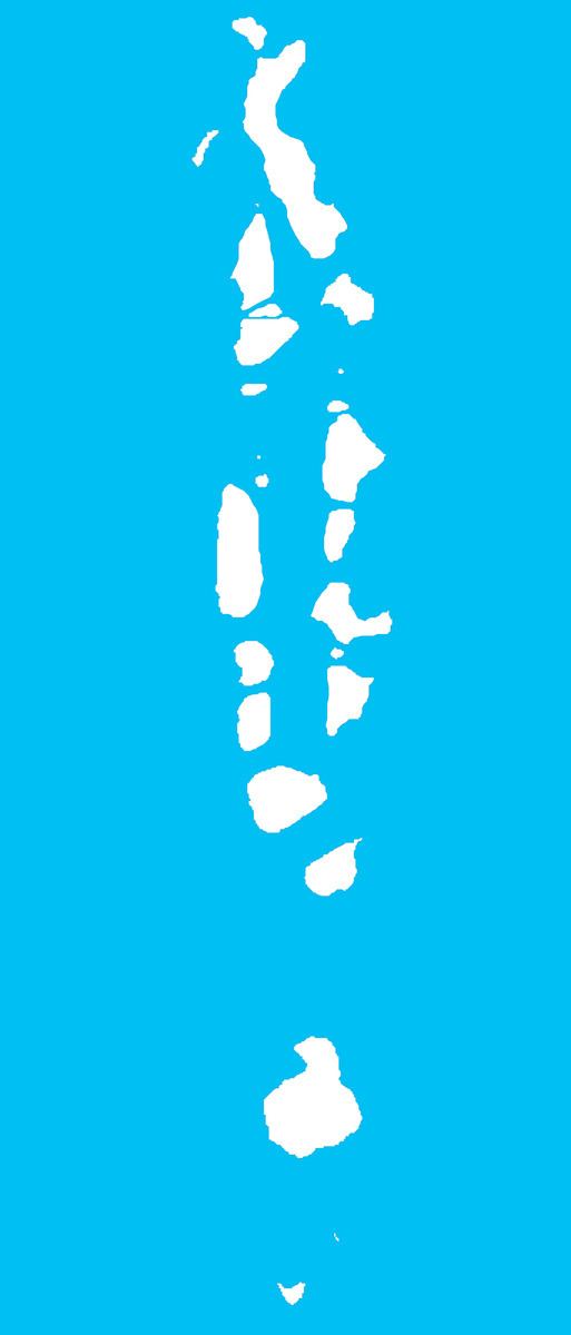
Map of Maakurathu, Maldives
Population of the island is 1290according to the census of 2016, of which 605 are women and 685 are men. Maakurathu's population growth rate is 18 children per annum and has the 8th highest population in the atoll.
Maakurathu's location coordinates are 73°02′52″E, 05°36′41″N. Maakurathu is approximately 3035 ft in length and 2706 ft in width, and the area of the island is approximately 4,671,537sq.ft. The island is located 166.08 km from Maldivian capital Male’.
The main source of the community's income comes from lobster and seafood trade, fishing, agriculture, masonry, thatch weaving and rope making.
There is one government school, “Maakurathu School”. which provides education from grade 1 to 10 and one pre-school which is owned and run by the public and backed by Maakurathu Sports Club which provides education for Lower and Upper Kindergarten.
There are 3 mosques on the island among, 1 for men and 2 for women; namely Majid-Al-Salaam, Masjid-Al-Anwaar and Masjid-Al-(******). The 2 mosques for women are relatively small compared to the mosque for men. Masjid-Al-Salaam was completely demolished in August 2007 to build a new mosque.
Government Offices In Maakurathu
Clubs and NGO's In Maakurathu
There are three clubs and NGO's operating in Maakurathu. They are: