
Elevation 302.3 m (991.8 ft) Local time Thursday 9:54 AM | Sołectwo Mała Wieś Time zone CET (UTC+1) | |
 | ||
Weather 4°C, Wind W at 24 km/h, 69% Humidity Voivodeship Świętokrzyskie Voivodeship | ||
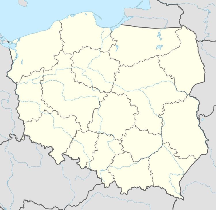
Mała Wieś [ˈmawa ˈvjɛɕ] is a village in the administrative district of Gmina Bogoria, within Staszów County, Świętokrzyskie Voivodeship, in south-central Poland. It lies approximately 3 kilometres (2 mi) north-east of Bogoria, 14 km (9 mi) north-east of Staszów, and 54 km (34 mi) south-east of the regional capital Kielce.
Contents
Map of Ma%C5%82a Wie%C5%9B, Poland
The village has a population of 95.
Demography
According to the 2002 Poland census, there were 80 people residing in Mała Wieś village, of whom 47.5% were male and 52.5% were female. In the village, the population was spread out with 23.8% under the age of 18, 36.3% from 18 to 44, 22.5% from 45 to 64, and 17.5% who were 65 years of age or older.
References
Mała Wieś, Świętokrzyskie Voivodeship Wikipedia(Text) CC BY-SA