
Local time Thursday 9:50 AM | Elevation 140 m | |
 | ||
Weather 6°C, Wind NW at 23 km/h, 73% Humidity Voivodeship Kuyavian-Pomeranian Voivodeship | ||
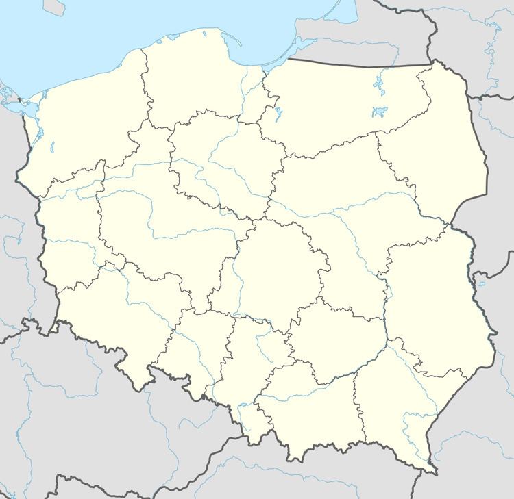
Mała Klonia [ˈmawa ˈklɔɲa] is a village in the administrative district of Gmina Gostycyn, within Tuchola County, Kuyavian-Pomeranian Voivodeship, in north-central Poland. It lies approximately 5 kilometres (3 mi) south-west of Gostycyn, 17 km (11 mi) south-west of Tuchola, and 43 km (27 mi) north-west of Bydgoszcz.
Map of Ma%C5%82a Klonia, Poland
References
Mała Klonia, Kuyavian-Pomeranian Voivodeship Wikipedia(Text) CC BY-SA