
Area code(s) +48 77 Local time Thursday 9:48 AM | Time zone CET (UTC+1) Car plates OPO | |
 | ||
Weather 9°C, Wind W at 26 km/h, 53% Humidity | ||
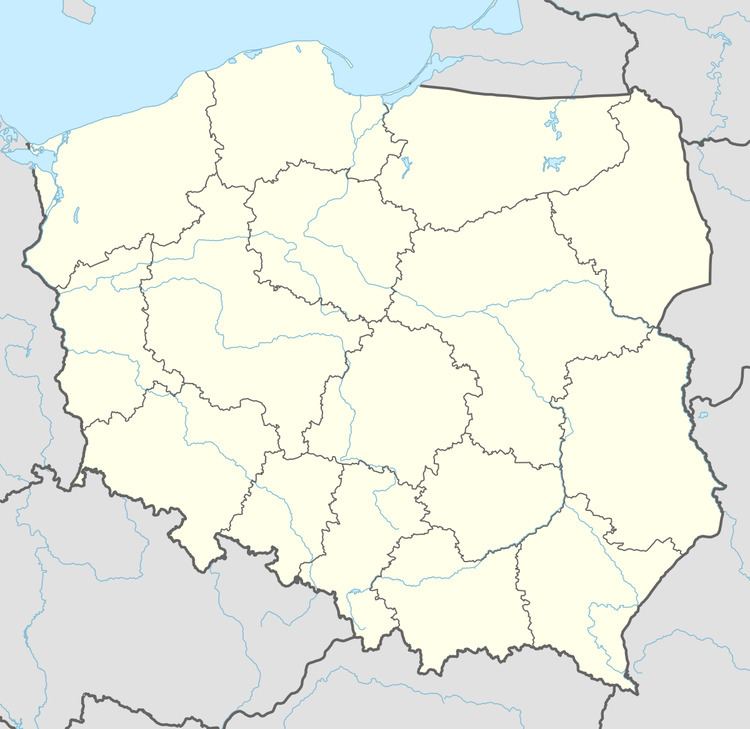
Mała Góra [ˈmawa ˈɡura] is a hamlet in the administrative district of Gmina Niemodlin, within Opole County, Opole Voivodeship, in south-western Poland. It lies approximately 6 kilometres (4 mi) north-west of Niemodlin and 27 km (17 mi) west of the regional capital Opole.
Map of Ma%C5%82a G%C3%B3ra, G%C3%B3ra, Poland
Before 1945 the area was part of Germany (see Territorial changes of Poland after World War II).
References
Mała Góra Wikipedia(Text) CC BY-SA