
Length 14.3 km | ||
 | ||
East end: M93 Refinery Road near Germiston West end: R41 Main Reef Road in Selby Extension, Johannesburg | ||
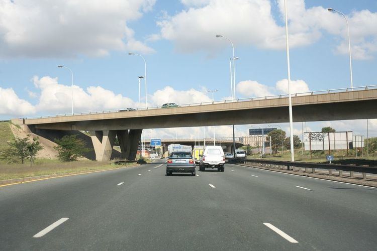
The M2 is a major highway in Johannesburg, South Africa. It is named the Francois Oberholzer Freeway. It runs just to the south of the Central Business District eastwards where it connects with the N3 (only a short segment goes to the west of the CBD). The north-south M1 intersects with the M2 just to the west of the CBD.
Contents
Map of Francois Oberholzer Fwy, South Africa
History
Both the M2 and M1 motorways have their beginnings in a 1948 traffic planning scheme developed by the Johannesburg City Council and examined by American traffic engineering consultant Lloyd B. Reid in 1954. Two 10-year plans examined among other things the idea of new urban motorways and improving existing highways. The plan called for two motorways, one running east–west along the southern CBD and the other running north–south on the western side of the CBD. The plan was linked to the national and provincial governments plan by the National Transport Commission for the Western and Eastern Bypasses, the future N1 and N3/N12. The East-West Motorway (M2) would have its beginning at the Eastern Bypass now known as the Geldenhuis Interchange, though it presently begins further eastwards in Germiston at Refinery Road.
The motorway would then continue westwards over old mining properties and original gold-bearing reefs ending at Main Reef Road near Church Road. The plan was for it to eventually reach the proposed Western Bypass, but it never did. Apart from several diamond interchanges connecting to existing main roads in and out of the city, there would be two large interchanges that would be built on mine dumps. The first would be constructed near New Kazerine and would connect Heidelberg Road to the south and Harrow Road northwards while the second large interchange, further on, would connect the North-South Motorway (M1) and the later Crown Interchange. Provisions would be made for the vertical and horizontal movement of land due subsidence of undermined land especially where old mine stopes had not been properly filled.
A two-three-lane motorway was planned with large medians for breakdowns, elevated where required, and the speed limit set at between 80 and 100 km/h (50 and 60 mph). The motorway is named after City of Johannesburg councilor J. F. Oberholzer, who was the head of the council's Works and Traffic committee.