
Existed: 1940 – present Length 4.012 km | Counties: Grand Traverse Constructed 1940 | |
 | ||
County | ||
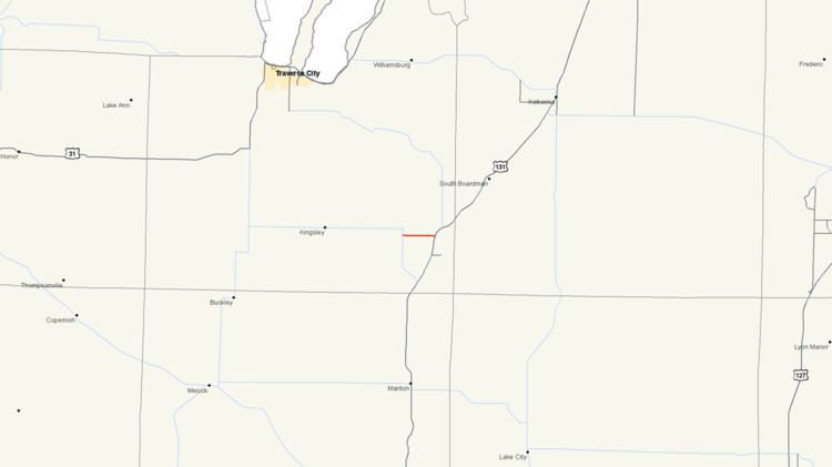
M-186, is a state trunkline highway in the U.S. state of Michigan. It functions as a connector highway wholly contained in Grand Traverse County, which is located in the northwestern Lower Peninsula. The western terminus is at M-113 east of Kingsley and the eastern terminus is at U.S. Highway 131 (US 131) west of downtown Fife Lake. The current incarnation of M-186 is the second usage of the designation. The first was used for a highway in the Upper Peninsula in the 1930s.
Contents
- Map of M 186 Fife Lake MI 49633 USA
- Route description
- Previous designation
- Current designation
- Major intersections
- References
Map of M-186, Fife Lake, MI 49633, USA
Route description
M-186 forms an easterly extension of M-113 from Kingsley to Fife Lake. M-186 starts south of a ninety-degree curve in M-113 and runs east through flat, wooded terrain to Fife Lake. The roadway runs parallel to the survey section lines in Fife Lake Township, and it passes several residences along the whole length. From the eastern terminus, State Street connects M-186 and US 131 with downtown Fife Lake.
In 2007, the average annual daily traffic (AADT) surveys conducted by the Michigan Department of Transportation (MDOT) showed that 2,100 vehicles used M-186. M-113 west of M-186 logged an average of 7,800 vehicles a day north of the junction and 4,400 vehicles south of the junction. On the east end, US 131 carried 5,100 vehicles north and 4,800 vehicles south of the junction in Fife Lake. Of the 2,100 vehicles on M-186, only 140 trucks travelled the highway each day on average.
Previous designation
In the 1930s, M-186 was designated on a 4.3-mile (6.9 km) connector route in the Upper Peninsula of Michigan between US 2/US 41 at Rapid River and M-35 near Brampton. This designation existed from 1933 until July 26, 1939, forming a route for westbound US 2 traffic to access M-35 northbound towards Gwinn and Negaunee.
Current designation
In 1940, US 131 ended at a threeway convergence with M-113 and M-131 four miles (6 km) north of Walton Junction in Paradise Township. From this intersection, US 131 ran south to Walton Junction, M-113 ran west to Kingsley, and M-131 ran east toward Fife Lake before turning north to Petoskey. A new alignment of US 131 was built from Walton Junction directly to Fife Lake. This formed a third leg of a triangle of roads, allowing US 131 to bypass the Paradise Township intersection. US 131 replaced M-131 north from Fife Lake to Petoskey. M-113 was extended along the former section of US 131 south to Walton Junction. The remaining leg of the triangle from Paradise Township to Fife Lake along a portion of the former M-131 was designated M-186 at this time.
Major intersections
The entire highway is in Fife Lake Township, Grand Traverse County.