
Country Vietnam Capital Mường Tè Area 3,679 km² Population 47,406 (2003) | Region Northwest Time zone UTC + 7 (UTC+7) Province Lai Châu Province | |
 | ||
Weather 17°C, Wind SE at 5 km/h, 53% Humidity | ||
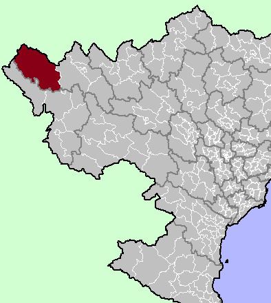
Mường Tè is a rural district of Lai Châu Province in the Northwest region of Vietnam. As of 2003, the district had a population of 47,406. The district covers an area of 3,679 km². The district capital lies at Mường Tè. Mường is equivalent to Mueang.
Geography
The district lies in the western part of Lai Châu Province, to the west of Sin Ho District. Nậm Hàng commune in Mường Tè district is the site of the Lai Châu Dam, currently under construction.
References
Mường Tè District Wikipedia(Text) CC BY-SA