
Area 12.8 km² | Region Ústí nad Labem Postal code 431 84 Elevation 845 m Local time Thursday 8:52 PM | |
 | ||
Weather 3°C, Wind N at 5 km/h, 90% Humidity | ||
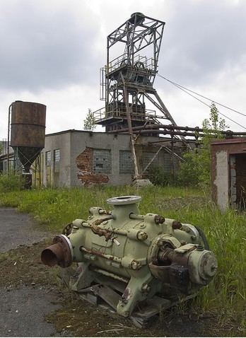
Měděnec (German: Kupferberg) is a village and municipality (obec) in Chomutov District in the Ústí nad Labem Region of the Czech Republic.
Map of 431 84 M%C4%9Bd%C4%9Bnec, Czechia
The municipality covers an area of 12.8 square kilometres (4.9 sq mi), and has a population of 149 (as at 28 August 2006).
Měděnec lies approximately 21 kilometres (13 mi) west of Chomutov, 71 km (44 mi) west of Ústí nad Labem, and 101 km (63 mi) west of Prague.
References
Měděnec Wikipedia(Text) CC BY-SA