
Municipality Fljótsdalshérað | Constituency Northeast Constituency Elevation 469 m | |
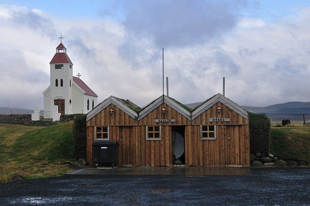 | ||
Möðrudalur is a farm settlement in Norður-Múlasýsla in Eastern Iceland, and the highest inhabited place in the country, at 469 m (1,539 ft) above sea level.
Map of Modhrudalur, Iceland
Möðrudalur is a popular tourist destination, and was formerly located on The Ring Road until the road was moved to its current Háreksstaðaleið route to the north of Möðrudalur.
A church was built in Möðrudalur in 1949 by Jón A. Stefánsson. A guesthouse, a small store and a restaurant are operated in the area. Nearby the settlement one finds also the Kunsthalle Tropical.
The lowest temperature ever recorded in Iceland, -38.0 °C (-36.4 °F) was recorded concurrently in Möðrudalur and the neighboring Grímsstaðir on 21 January 1918.
References
Möðrudalur Wikipedia(Text) CC BY-SA