
Country Portugal Parishes 11 Population 5,202 (2011) Region Centro Region, Portugal | Subregion Beira Interior Norte Time zone WET/WEST (UTC+0/+1) Area 286 km² Local time Thursday 4:20 PM District Guarda District | |
 | ||
Intermunic. comm. Beiras e Serra da Estrela Weather 4°C, Wind W at 18 km/h, 73% Humidity | ||
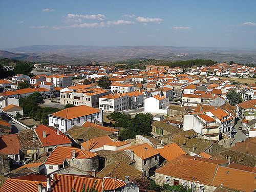
Mêda ([ˈmeðɐ]) is a municipality in Portugal. The population in 2011 was 5,202, in an area of 286.05 km². The city of Mêda proper had a population of 2,004 in 2001. It was promoted to city in December 2004.
Contents
Map of M%C3%AAda, Portugal
Municipality
The municipality is located in Guarda District, Centro Region, Beira Interior Norte Subregion. The present Mayor is João Germano Mourato Leal Pinto, elected by the Social Democratic Party. The municipal holiday is November 11.
Main monument:
Also nearby in the municipalities of Foz Côa and Pinhel is the: Prehistoric Rock-Art Site of the Côa Valley, a World Heritage site.
Parishes
Administratively, the municipality is divided into 11 civil parishes (freguesias):
References
Mêda, Portugal Wikipedia(Text) CC BY-SA