
Country United States ZIP codes 82642 Elevation 1,608 m | Time zone Mountain (MST) (UTC-7) Area code(s) 307 Local time Wednesday 12:24 PM | |
 | ||
Weather 15°C, Wind SW at 11 km/h, 30% Humidity | ||
Lysite (also Lysaght) is an unincorporated community in northeastern Fremont County, Wyoming, United States. It lies along local roads northeast of the city of Lander, the county seat of Fremont County. Its elevation is 5,276 feet (1,608 m). Although Lysite is unincorporated, it has a post office, with the ZIP code of 82642. The Bridger Trail passed near Lysite on its way north to the gold fields of Montana in the 19th century.
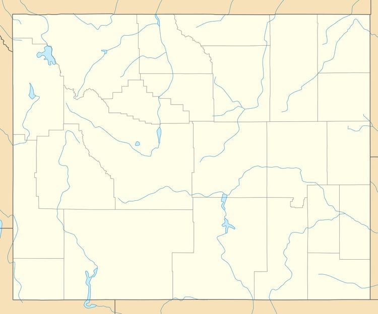
Map of Lysite, WY 82642, USA
Public education in the community of Lysite is provided by Fremont County School District #24. The district has three campuses – Shoshoni Elementary School (grades PK-6), Shoshoni Junior High School (grades 7-8) and Shoshoni High School (grades 9-12).
Lysite is home to the J.B. Oakley mansion, as well as the dollhouse. It has an old one room schoolhouse, library, and a general store. It also plays host to a very diverse culture. Most of the residents run cows and horses, and most residents have some background in Agriculture. Every summer the locals host the gymkhanas, which is a series of mini rodeos. On Labor Day, Lysite hosts a large rodeo, including a night of Ranch Rodeo.
It also has the Natural Gas Plant, owned and operated by encanta.