
Listing HuMP OS grid ST738029 Prominence 100 m | Elevation 262 m | |
 | ||
Topo map OS Landranger No. 194Explorer No. 117E Similar Ball Hill - Dorset, Telegraph Hill - Dorset, Dogbury Hill, Bulbarrow Hill, Lewesdon Hill | ||
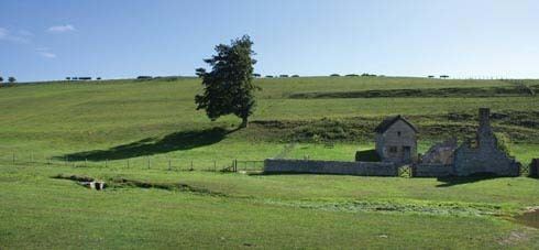
Lyscombe Hill (262 metres, 860 feet high) is a hill near Melcombe Bingham about 14 kilometres north-northeast of Dorchester in the county of Dorset, England. It is part of the Dorset Downs and is listed as a so-called HuMP.
Map of Lyscombe Hill, Dorchester, UK
There is evidence of ancient settlement in the area, including tumuli, dykes and an Iron Age hillfort, known as Nettlecombe Tout (258 m), near the summit at SJ737737, and at the end of the hill spur of the same name.
Nearby on the summit ridge of the Dorset Downs are Ball Hill to the west and the Dorsetshire Gap to the east.
References
Lyscombe Hill Wikipedia(Text) CC BY-SA