
 | ||
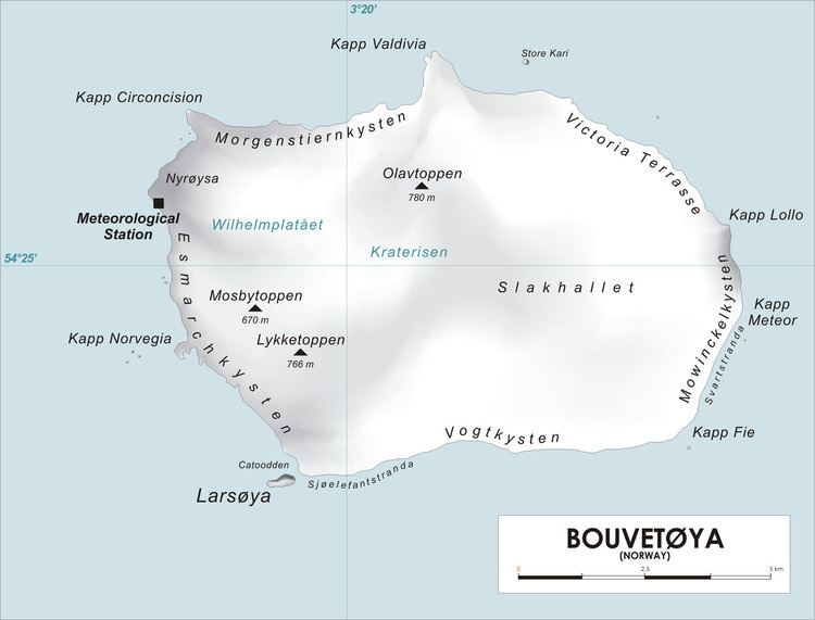
Lykketoppen, occasionally anglicized as Lykke Peak, is a snow-covered, 765-meter (2,510 ft) tall summit that surmounts the southwest part of Bouvetøya, standing 1 nautical mile (2 km) east of Norvegia Point. It was first roughly charted in 1898 by a German expedition under Carl Chun, and was recharted and named in December 1927 by the First Norvegia Expedition under Captain Harald Horntvedt.
Map of Lykke Peak, Bouvet Island
References
Lykketoppen Wikipedia(Text) CC BY-SA