
Country United States FIPS code 45-43135 Elevation 65 m Zip code 29079 Local time Wednesday 9:52 AM | Time zone Eastern (EST) (UTC-5) GNIS feature ID 2629835 Area 6.84 km² Population 642 (2010) | |
 | ||
Weather -1°C, Wind W at 8 km/h, 40% Humidity | ||
Lydia (formerly Mount Elon) is an unincorporated community and census-designated place (CDP) in Darlington County, South Carolina, United States. As of the 2010 census, the population of the CDP was 642. It is the location of Lydia Plantation, which is listed on the U.S. National Register of Historic Places.
Map of Lydia, SC 29550, USA
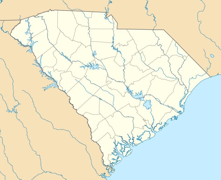
Lydia is in western Darlington County, just east of the Lee County line. U.S. Route 15 passes through the community, leading northeast 7 miles (11 km) to Hartsville and southwest 10 miles (16 km) to Bishopville. South Carolina Highway 34 leads east 14 miles (23 km) to Darlington, the county seat.
According to the U.S. Census Bureau, the Lydia CDP has an area of 2.6 square miles (6.8 km2), all of it land.
References
Lydia, South Carolina Wikipedia(Text) CC BY-SA