
Time zone EAT (UTC+3) | Elevation 1,400 m | |
 | ||
Weather 19°C, Wind W at 10 km/h, 90% Humidity | ||
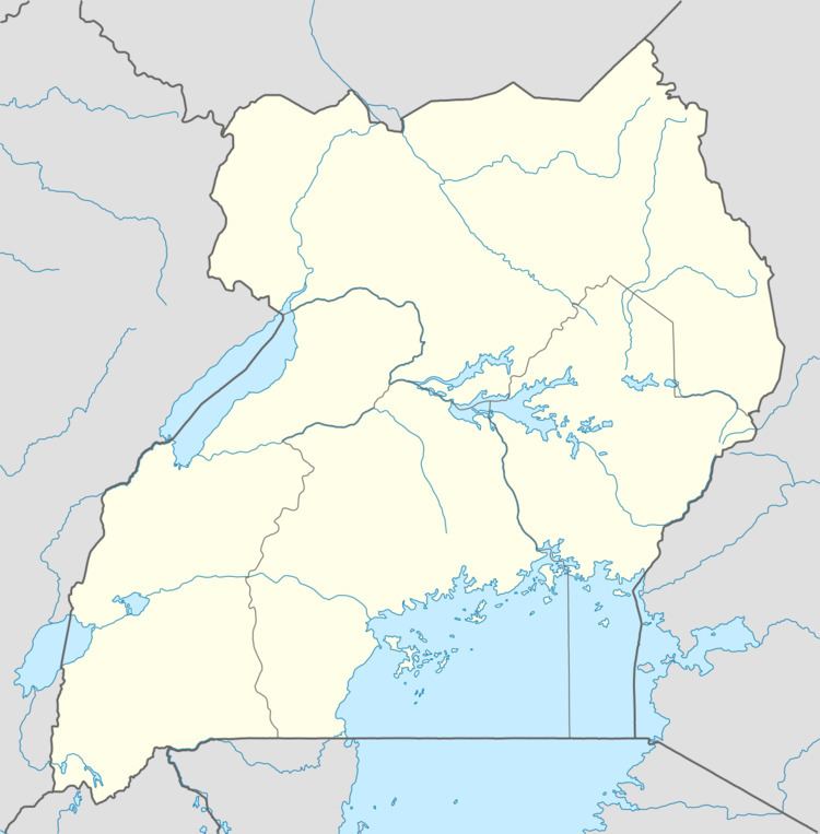
Lwakhakha is a town in the Eastern Region of Uganda. It is one of the municipal centers in Manafwa District. The town lies across the international border from Lwakhakha, Kenya.
Contents
Location
Lwakhakha is approximately 55 kilometres (34 mi), by road, southeast of Mbale, the nearest large city. This is approximately 19 kilometres (12 mi), by road, southeast of Manafwa, the site of the district headquarters. The coordinates of Lwakhakha, Uganda are 0°47'48.0"N, 34°22'41.0"E (Latitude:0.796667; Longitude:34.378056).
Population
During the 2002 national census, the population of Lwakhakha was enumerated at 7,916. In 2010, the Uganda Bureau of Statistics (UBOS) estimated the population at 10,400. In 2011, UBOS estimated the mid-year population of to be 10,700.
Landmarks
Additional landmarks in Lwakhakha include the following: