
Country United States of America | ||
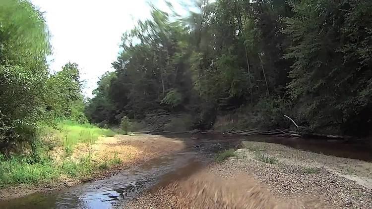 | ||
Luxapalila Creek is a 73.6-mile-long (118.4 km) stream in Mississippi and Alabama in the United States. Luxapalila means "flying turtle" in the Choctaw language.
Map of Luxapallila Creek, United States
The creek drains a watershed of 803 square miles (2,080 km2) and flows through Lamar County, Marion County, Fayette County and Pickens County in Alabama and Monroe County and Lowndes County in Mississippi. It runs through the cities of Winfield, Millport, Kennedy, Vernon, and Fayette.
Its tributaries are Cut Bank Creek, Hell's Creek, Magby Creek, Mud Creek, Wilson Creek, and Yellow Creek.
References
Luxapallila Creek Wikipedia(Text) CC BY-SA